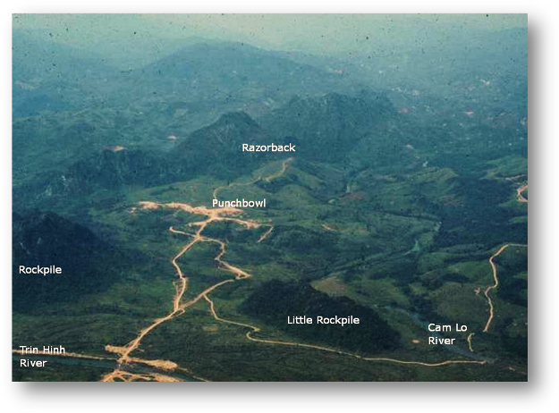
GRUNTFIXER.NET


The Punchbowl

The Punchbowl also known as the Fishbowl and Alamo Hill was the position originally occupied by 3/3 but shortly after they arrived the decision was made to move the Battalion CP, Mike, Kilo, and India Companies up to Mutter’s Ridge leaving Lima Company to occupy the hill with a Platoon on the south end of the Razorback. The road on the right leads up to the position and the hill and the road near 
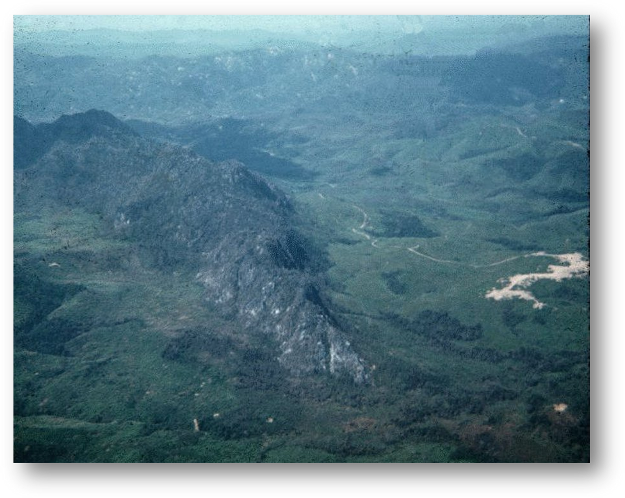
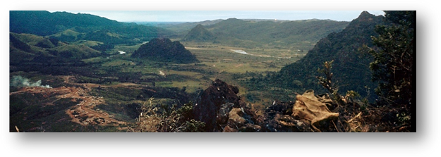
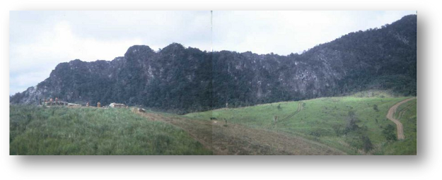
the LZ can be seen on the far right center. The valley had four prominent karsk rock formations the largest being the Razorback on the west side. The most prominent was the Rockpile on the south. There was also the Little Rockpile to the west and Witch’s Tit to the south west.

Description: Description: Description: Description: Description: Description: C:\Users\Rus\Pictures\Gruntfixer\Service Photos\image_316a.jpg

Description: Description: Description: Description: Description: Description: C:\Users\Rus\Pictures\Gruntfixer\Rockpile & Razorback\razorbak2a.jpg

A view of the south end of the Razorback and the punchbowl. Mutter’s Ridge is in the background.

Description: Description: Description: C:\Users\Rus\Desktop\Website\My Story\Lima\page6b.jpg

The punchbowl as seen from the top of the Razorback. The Little Rockpile is on the left, the Witch’s Tit in in the center distance and the Rockpile is on the right

-Photo by Richard Banks

Description: Description: Description: Description: Description: Description: C:\Users\Rus\Pictures\Gruntfixer\Rockpile & Razorback\Razorback a.jpg

Composite photo taken from the Punchbowl looking west toward the Razorback

-Photos by Jesse Torres


NEXT

©GRUNTFIXER.NET